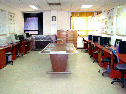
ESR Remote Sensing and GIS Lab


    The laboratory incorporates computers loaded with special software designed to analyze digital space-borne images and perform various types of studies that researchers might need to apply. This is in addition to special programs to produce 3-D maps.


Software packages:

-         ERDAS IMAGINE

-         ArcGIS 9


 Dept. Home Page

 Welcome

 Objectives

 Learning Outcomes

 News

 Faculty

 Staff

 History & Background

 Photogrammetry Lab

 Photo Lab

 Field Equipments

 B. Sc. Programs

 Courses Offerings

 Graduate Intro.

 Graduate Courses

 Graduate Research

 Graduate Rules

 Recent Publications

 Published Papers

 Projects

 Photo Gallery

 Awards

 Outreach

 Links


Last Update
1/7/2009 11:49:24 PM